
File:Ecclesiastical Province of San Francisco map.png
Size of this preview: 606 × 600 pixels. Other resolutions: 243 × 240 pixels | 485 × 480 pixels | 676 × 669 pixels.
Original file (676 × 669 pixels, file size: 68 KB, MIME type: image/png)
| This is a file from the Wikimedia Commons. Information from its description page there is shown below. Commons is a freely licensed media file repository. You can help. |
Summary
| Description |
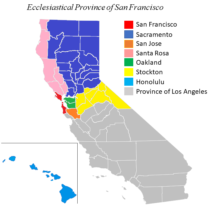
English: The Ecclesiastical Province of San Francisco encompasses the Catholic dioceses of Northern California, USA. |
| Date | |
| Source | Own work based on the Map of California, Hawaii Locator Map, Nevada Locator Map and the Utah Locator Map. |
| Author | Farragutful |
Licensing
I, the copyright holder of this work, hereby publish it under the following license:
This file is licensed under the Creative Commons Attribution-Share Alike 3.0 Unported license.
- You are free:
- to share – to copy, distribute and transmit the work
- to remix – to adapt the work
- Under the following conditions:
- attribution – You must give appropriate credit, provide a link to the license, and indicate if changes were made. You may do so in any reasonable manner, but not in any way that suggests the licensor endorses you or your use.
- share alike – If you remix, transform, or build upon the material, you must distribute your contributions under the same or compatible license as the original.
File history
Click on a date/time to view the file as it appeared at that time.
| Date/Time | Thumbnail | Dimensions | User | Comment | |
|---|---|---|---|---|---|
| current | 15:31, 30 May 2023 | | 676 × 669 (68 KB) | Farragutful | province was reduced in size |
| 02:05, 25 May 2014 |  | 960 × 720 (186 KB) | Farragutful | matched colors | |
| 13:58, 1 March 2014 |  | 960 × 720 (184 KB) | Farragutful | Fixed Santa Rosa/Sacramento | |
| 00:16, 4 September 2012 |  | 960 × 720 (202 KB) | Farragutful | filled in county borders in Nevada and Utah | |
| 22:53, 28 August 2012 |  | 960 × 720 (184 KB) | Farragutful | User created page with UploadWizard |
File usage
The following 4 pages use this file:
Global file usage
The following other wikis use this file:
- Usage on cs.wikipedia.org
- Usage on de.wikipedia.org
- Usage on es.wikipedia.org
- Usage on fr.wikipedia.org
- Usage on id.wikipedia.org
- Usage on it.wikipedia.org
- Usage on jv.wikipedia.org
- Usage on nl.wikipedia.org