
File:China Mauritius Locator.png
Size of this preview: 800 × 523 pixels. Other resolutions: 320 × 209 pixels | 640 × 419 pixels | 1,024 × 670 pixels | 1,492 × 976 pixels.
Original file (1,492 × 976 pixels, file size: 90 KB, MIME type: image/png)
| This is a file from the Wikimedia Commons. Information from its description page there is shown below. Commons is a freely licensed media file repository. You can help. |
Summary
| Description |
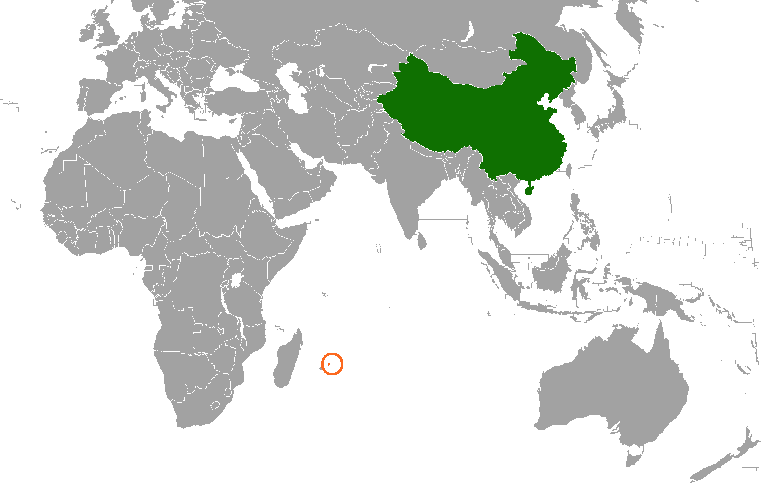
English: Illustrates the location of China and Mauritius on a map |
| Source | Own work |
| Author | Discott |
Licensing
I, the copyright holder of this work, hereby publish it under the following license:
| This file is made available under the Creative Commons CC0 1.0 Universal Public Domain Dedication. | |
| The person who associated a work with this deed has dedicated the work to the public domain by waiving all of their rights to the work worldwide under copyright law, including all related and neighboring rights, to the extent allowed by law. You can copy, modify, distribute and perform the work, even for commercial purposes, all without asking permission.
|
File history
Click on a date/time to view the file as it appeared at that time.
| Date/Time | Thumbnail | Dimensions | User | Comment | |
|---|---|---|---|---|---|
| current | 04:18, 2 September 2022 | | 1,492 × 976 (90 KB) | Aquintero82 | Updated map |
| 14:48, 26 January 2011 |  | 795 × 721 (106 KB) | Discott | {{Information |Description ={{en|1=Illustrates the location of China and Mauritius on a map}} |Source ={{own}} |Author =Discott |Date = |Permission = |other_versions = }} [[Category:Locator maps of Africa |
File usage
The following 2 pages use this file:
Global file usage
The following other wikis use this file:
- Usage on ca.wikipedia.org
- Usage on he.wikipedia.org
- Usage on id.wikipedia.org
- Usage on ru.wikipedia.org
- Usage on www.wikidata.org
- Usage on zh.wikipedia.org